Consultancy

Research and Development
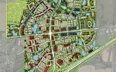
Geographic Information Systems

Remote Sensing (Satellite, Drone)
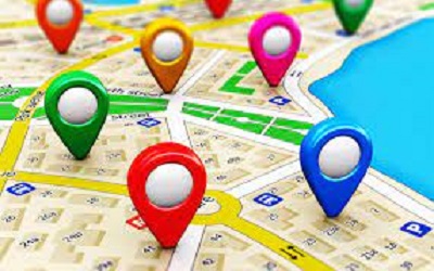
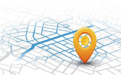
Location based Services (LBS)
Survey (GPS, Drone, Topographic, Sub-soil Investigation)
Monitoring and Evaluation
Training (RS, GIS and GPS– online/offline)
Software & Website Development
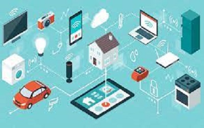
IoT (Internet of Things)
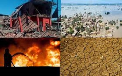
Disaster Management (Impact based Forecasting etc.)

Climate Change Adaptation and Mitigation(CCAM)